Solutions
-
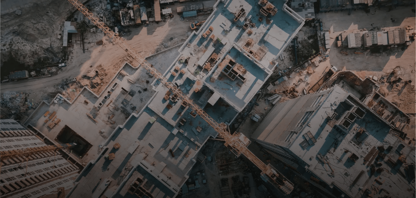
Construction and land managementProvides highly accurate data at all stages of the construction, planning, digital terrain modeling, eliminating cadastral errors, and identifying illegal buildings and unauthorized changes boundaries
-
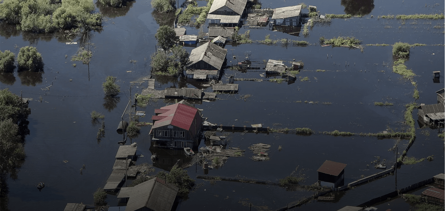
Emergency response and search & rescue operationsHighly effective in rescue missions, guidance of mobile search teams, emergency alert, communication and data relay, safety of mass events
-
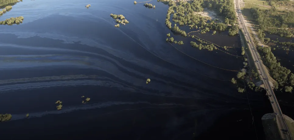
Environmental organizationsProvides data collection, visualization and real-time monitoring, identifies unauthorized landfills, boundary violations, and visible pollution in closed water bodies
-
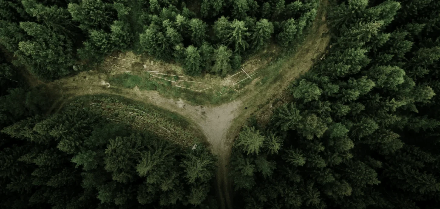
Forestry and agricultureMonitors and controls of large territories, searches and registers animals, controls crops and optimizes the work of machine operators
-
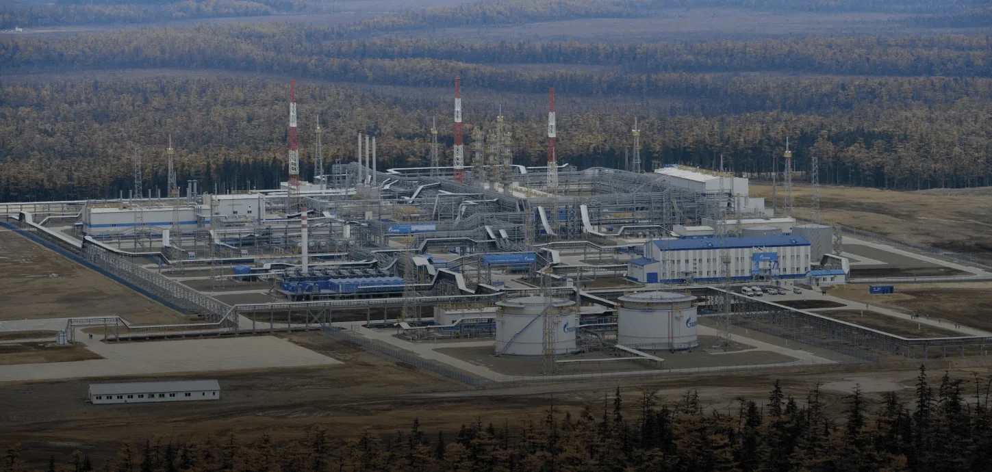
Oil and gas companiesUsed to monitor facilities, detect damage and petroleum product spills, in thermal imaging monitoring, orthophoto planning and digital terrain modeling
-
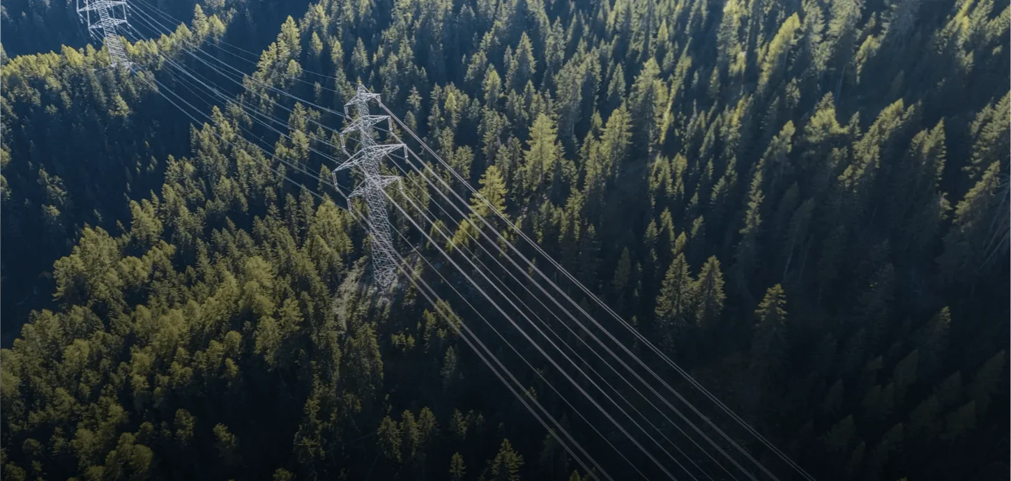
Overhead power line monitoringAssesses the condition of wires, cables, linear fittings and insulation. It identifies potentially dangerous trees and branches, assesses the volume and characteristics of forest clearing, and monitors the work in the protected area