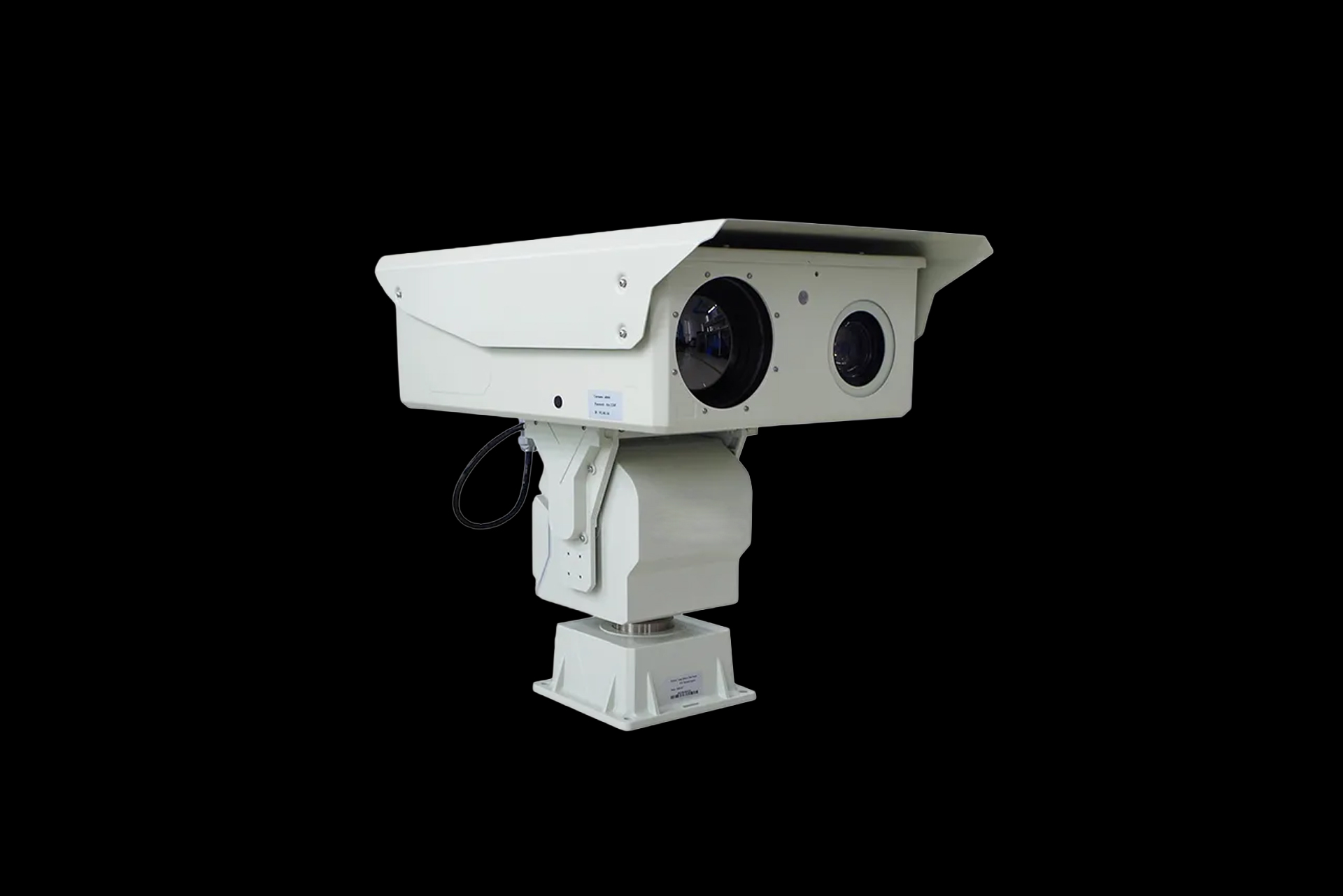
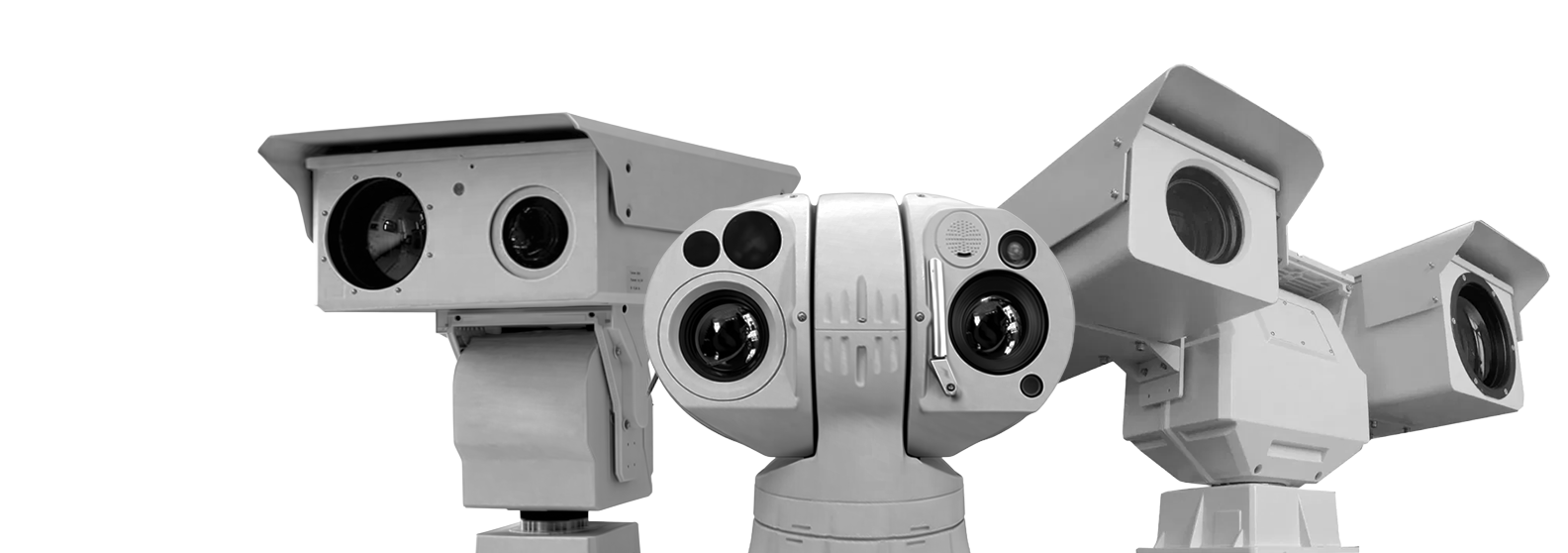
Vigil L3
Long Distance Dual Sensor PTZ Thermal Camera
In combination with 360-degree PT, the camera is capable of conducting 24 hours real-time monitoring within 1km-18km.
-
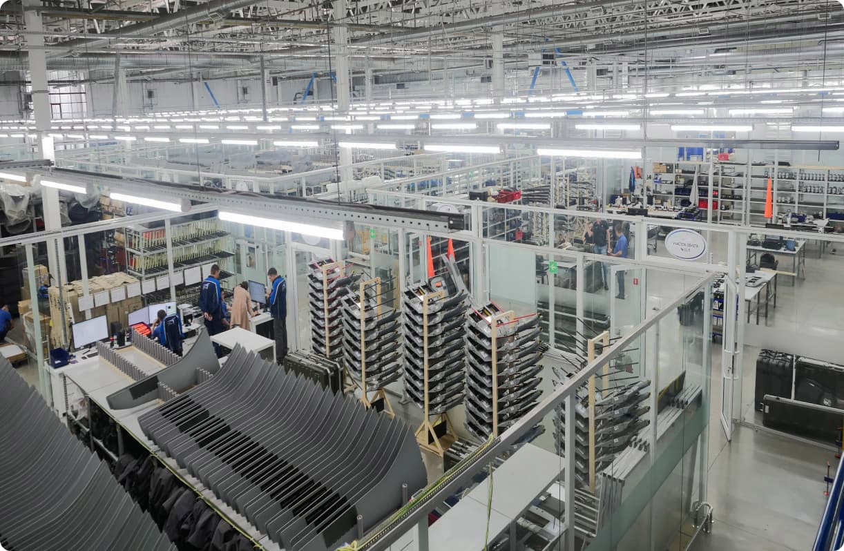
6000Sq.m., Production Area
-
150+On Our Team
-
28+Projects
-
$11.2Million2025 Revenue
About
Aerial photography includes both field and in-office studies, while the set of data obtained as a result of in-office studies may vary depending on customer requirements
-
Usable in all weather conditionsCapable of taking images in high clouds, in the temperature range from -40 to +40 °C and with winds up to 15 m/s01
-
Economic efficiencyAerial photography significantly reduces costs compared to satellite imagery and geodetic surveys02
-
High performanceDuring one working day, it is possible to take images on an area of up to several hundred square kilometers03
Industry-specific tasks
-
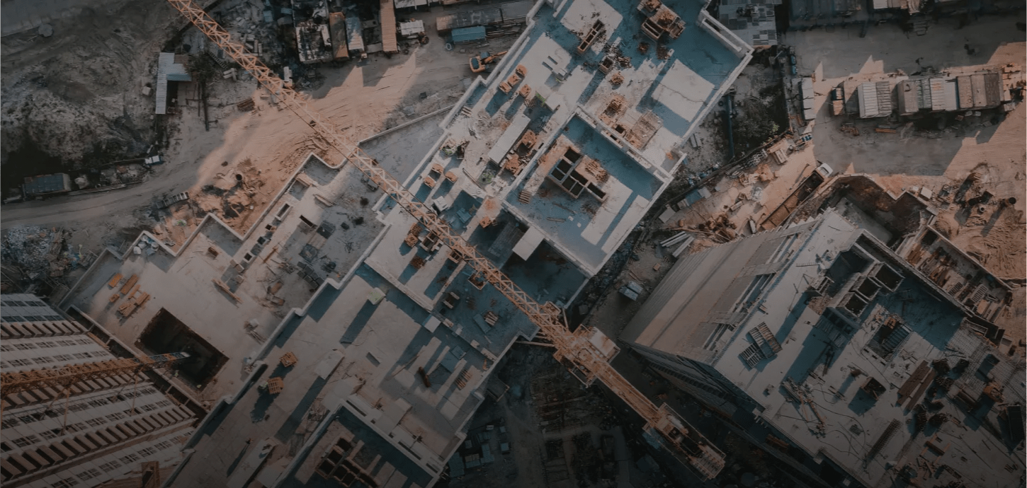
Construction and land management
-
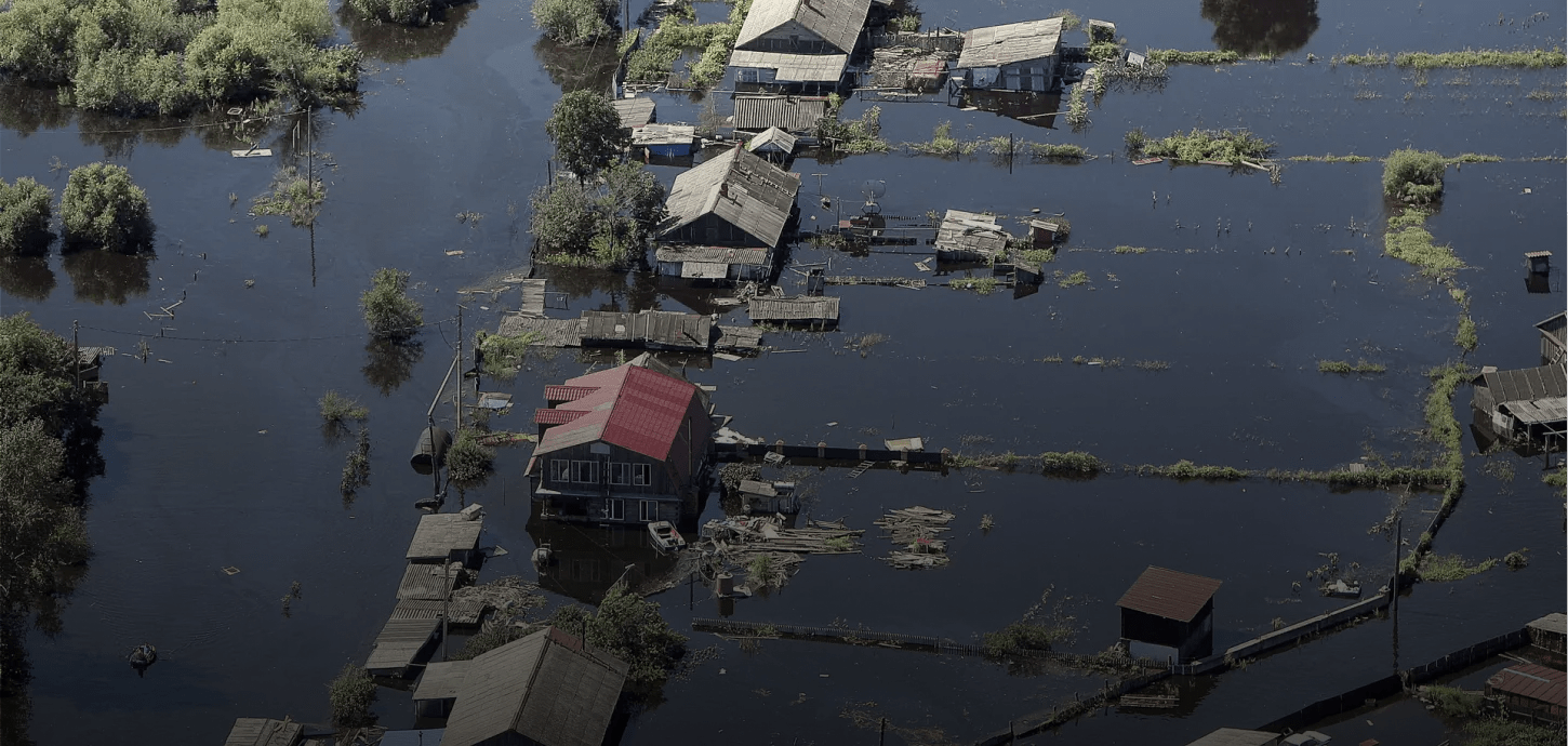
Emergency response and search & rescue operations
-
Environmental organizations
-
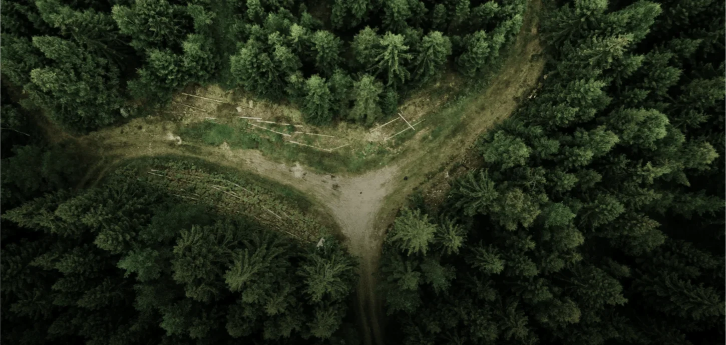
Forestry and agriculture
-
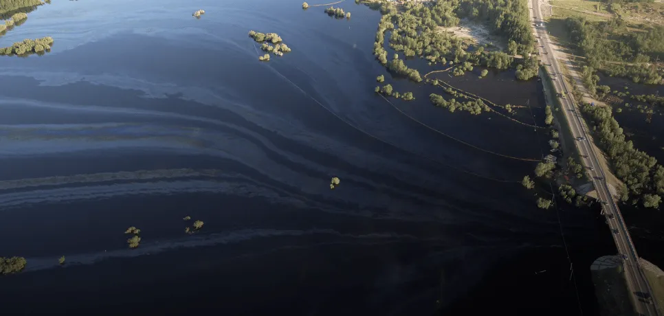
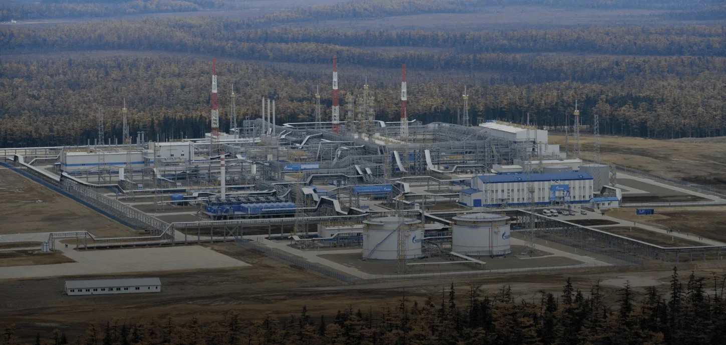
Oil and gas companies
-
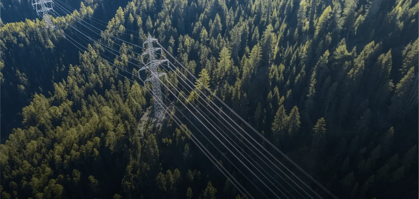
Overhead power line monitoring
Leave a consultation request
About us
Our company operates in the field of advanced thermal camera and intelligent video surveillance systems, developing innovative solutions that deliver high-accuracy imaging in both day and night conditions, even in harsh environments. Leveraging advanced thermal detection technologies, our systems analyze temperature differences that are difficult to detect with the human eye, enabling early identification of critical situations.
Equipped with real-time data transmission and AI-powered analytics capabilities, our solutions ensure reliable monitoring of targets over long distances. This allows field developments to be assessed quickly, clearly, and without interruption, enhancing operational efficiency and strengthening decision-making processes.
Main application areas of our solutions:
• Early detection and prevention of forest fires
• Runway and perimeter security, and intrusion detection at airports
• Environmental monitoring and thermal-based analysis
• Monitoring of energy transmission lines and high-voltage infrastructure
• Construction site and large-area land management
• Security for ports, industrial facilities, and logistics centers
• Search and rescue operations and emergency management