Environmental organizations
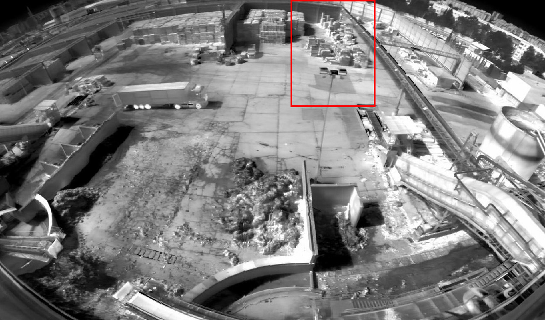
Provides data collection, analysis and updates on the state of the environment. The system also provides real-time monitoring of potentially hazardous facilities, identifies unauthorized landfills and waste disposal sites, as well as site boundary violations. It effectively monitors the condition of the water protection zone and the coastal strip, as well as visible pollution in closed water bodies
-
Data gathering and analysis on the state of the environment, soils, and water bodies
-
Real-time monitoring of potentially dangerous objects
-
Identification of potential violations, unauthorized landfills and waste disposal sites
-
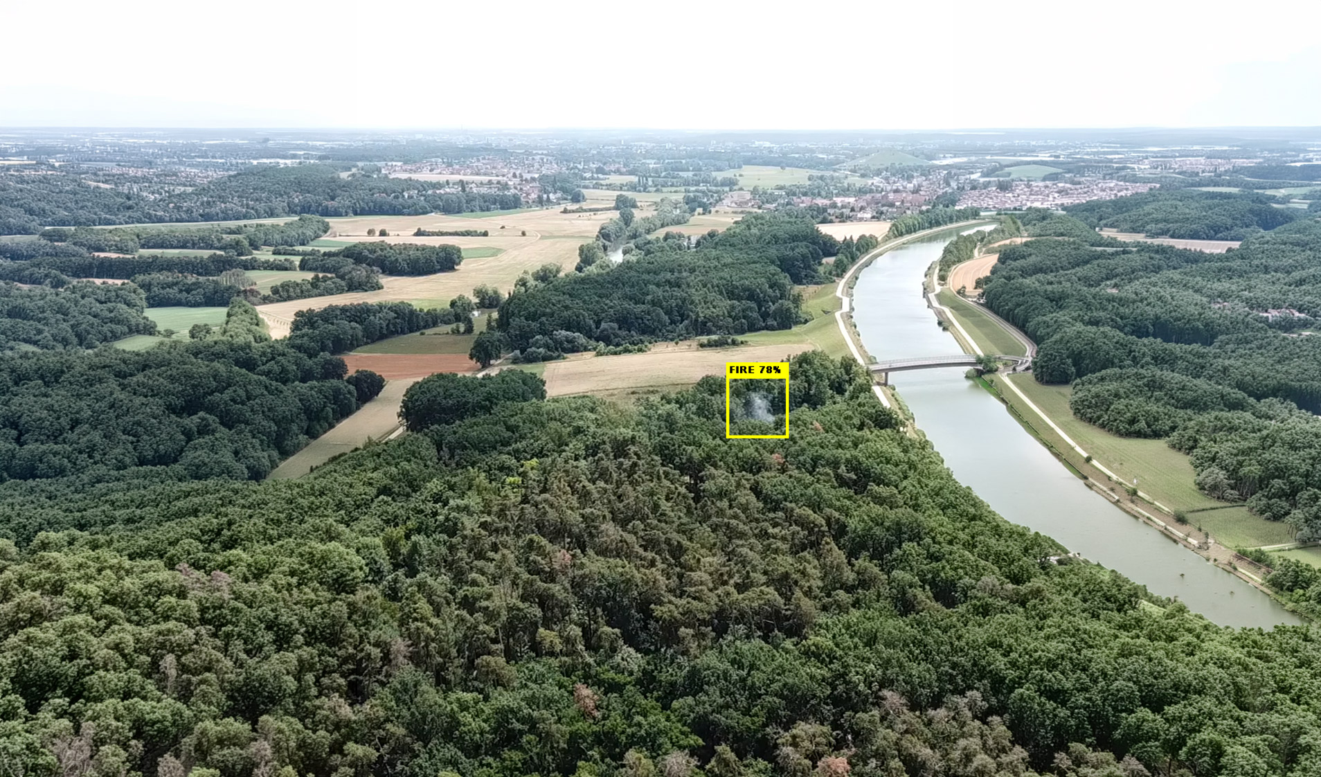
Identification of fire sources and waste incineration sites
-
Determining violations of site boundaries
-
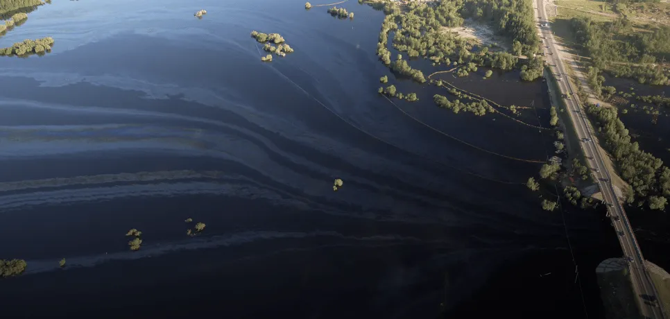
Identification of areas of visible pollution in closed water bodies
-
Monitoring of the state of the water protection zone and coastal strip

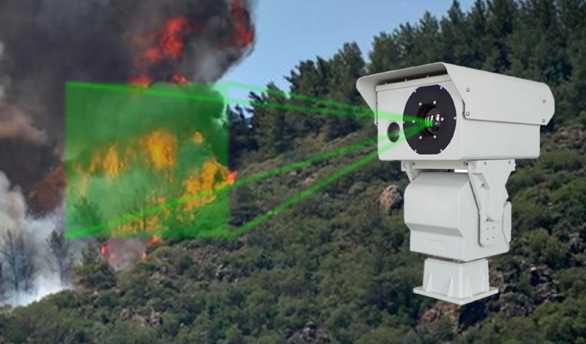
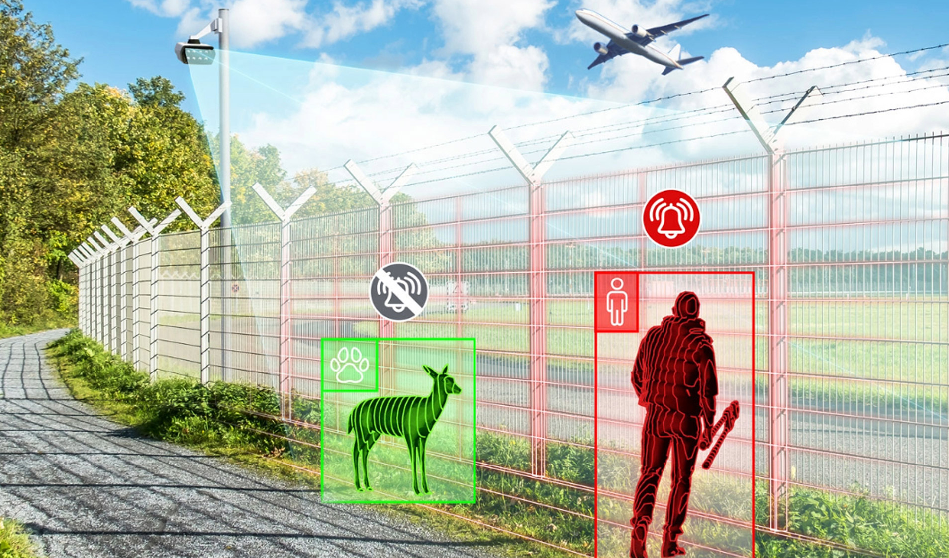
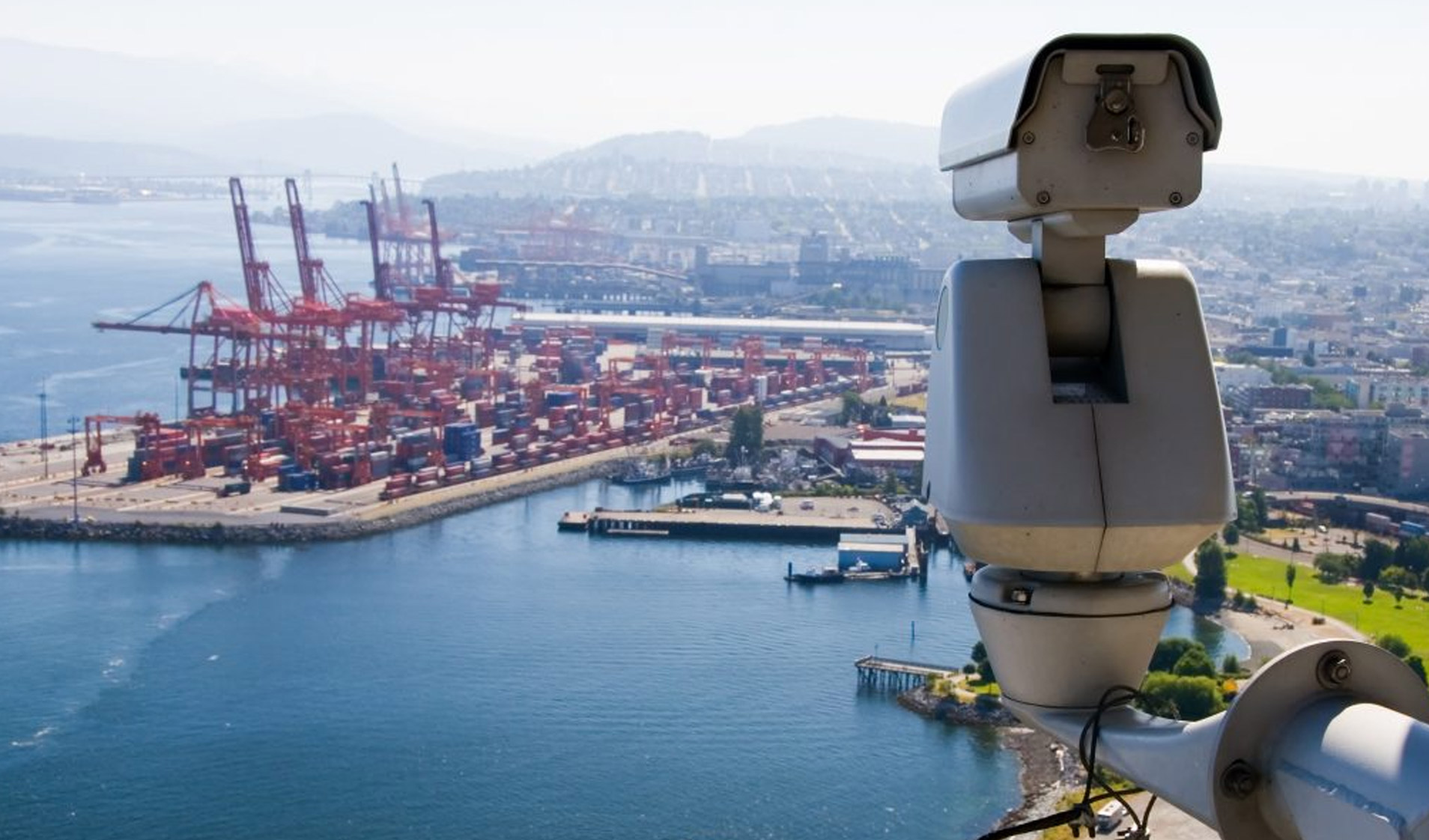
Protect forests, critical infrastructure, and wide-area environments with real-time, AI-powered thermal detection and early risk analysis.
-
SPECTRA M2
Middle Range Multi Sensor Thermal Camera
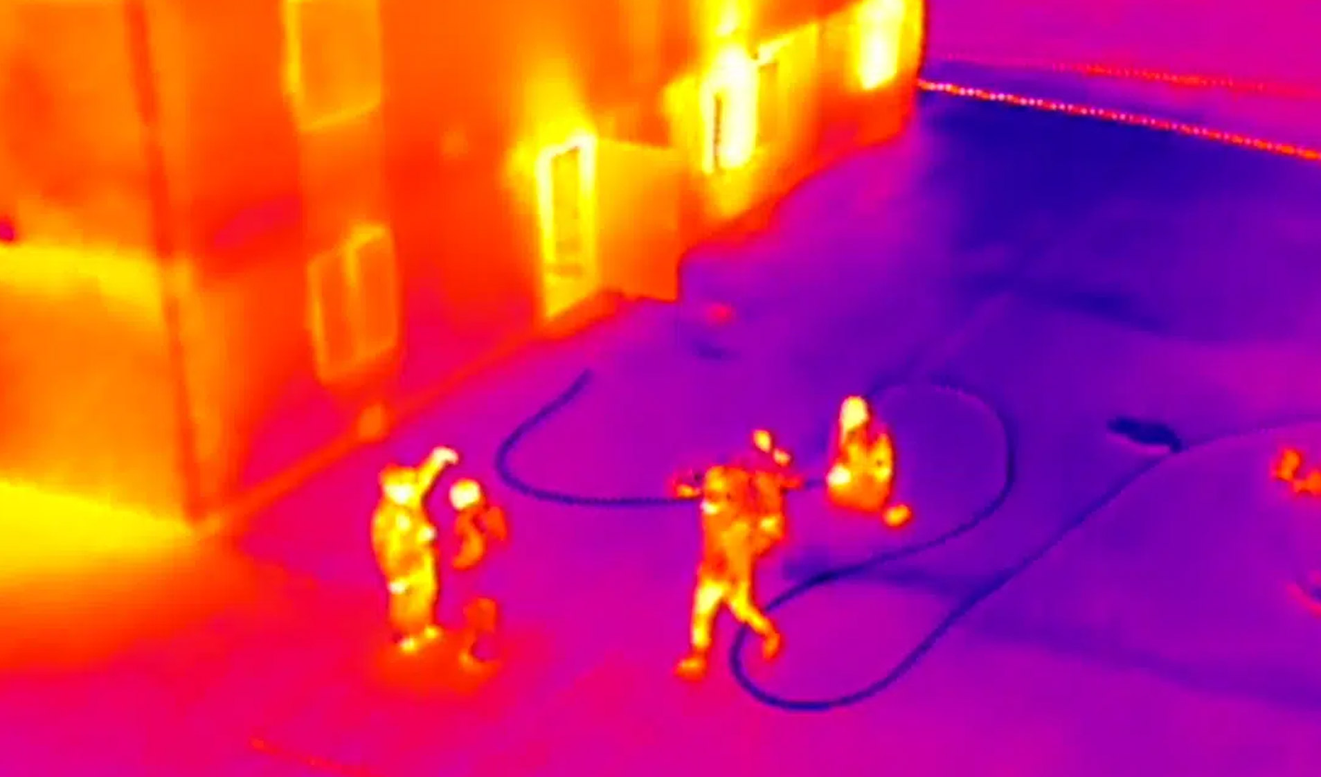
Support intrusion detection, boundary crossing detection, entering / leaving area detection, motion detection, fast moving, target tracking, people / vehicle target detection and etc.
More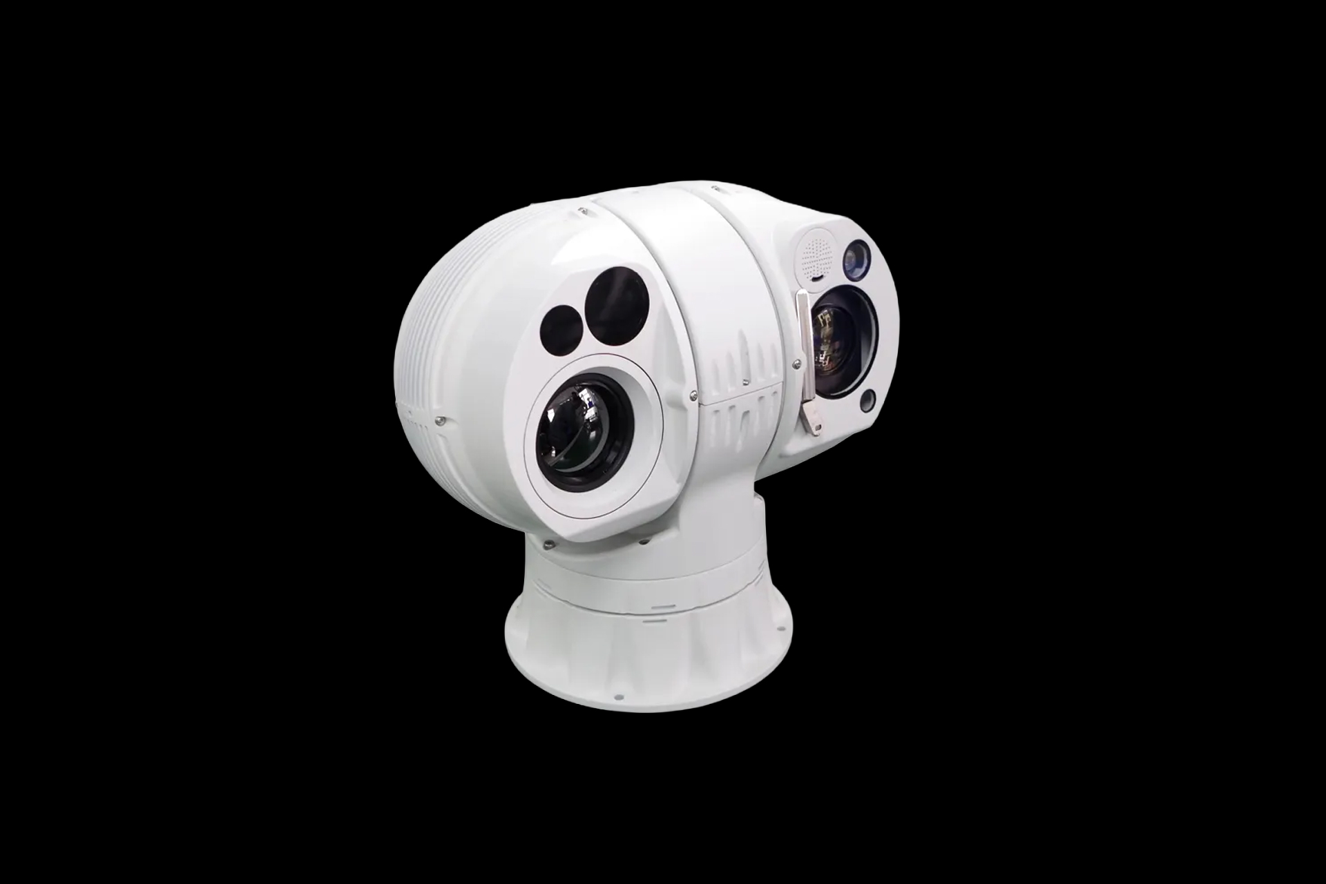
-
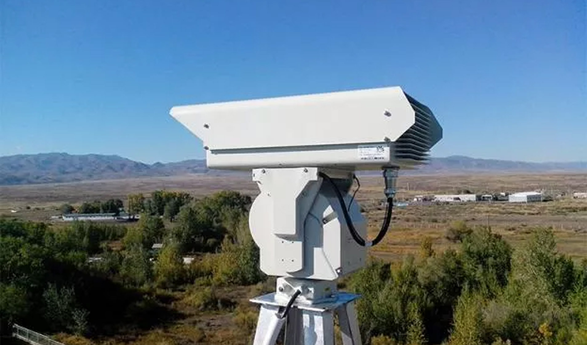
Vigil L3
Long Distance Dual Sensor PTZ Thermal Camera
In combination with 360-degree PT, the camera is capable of conducting 24 hours real-time monitoring within 1km-18km.
More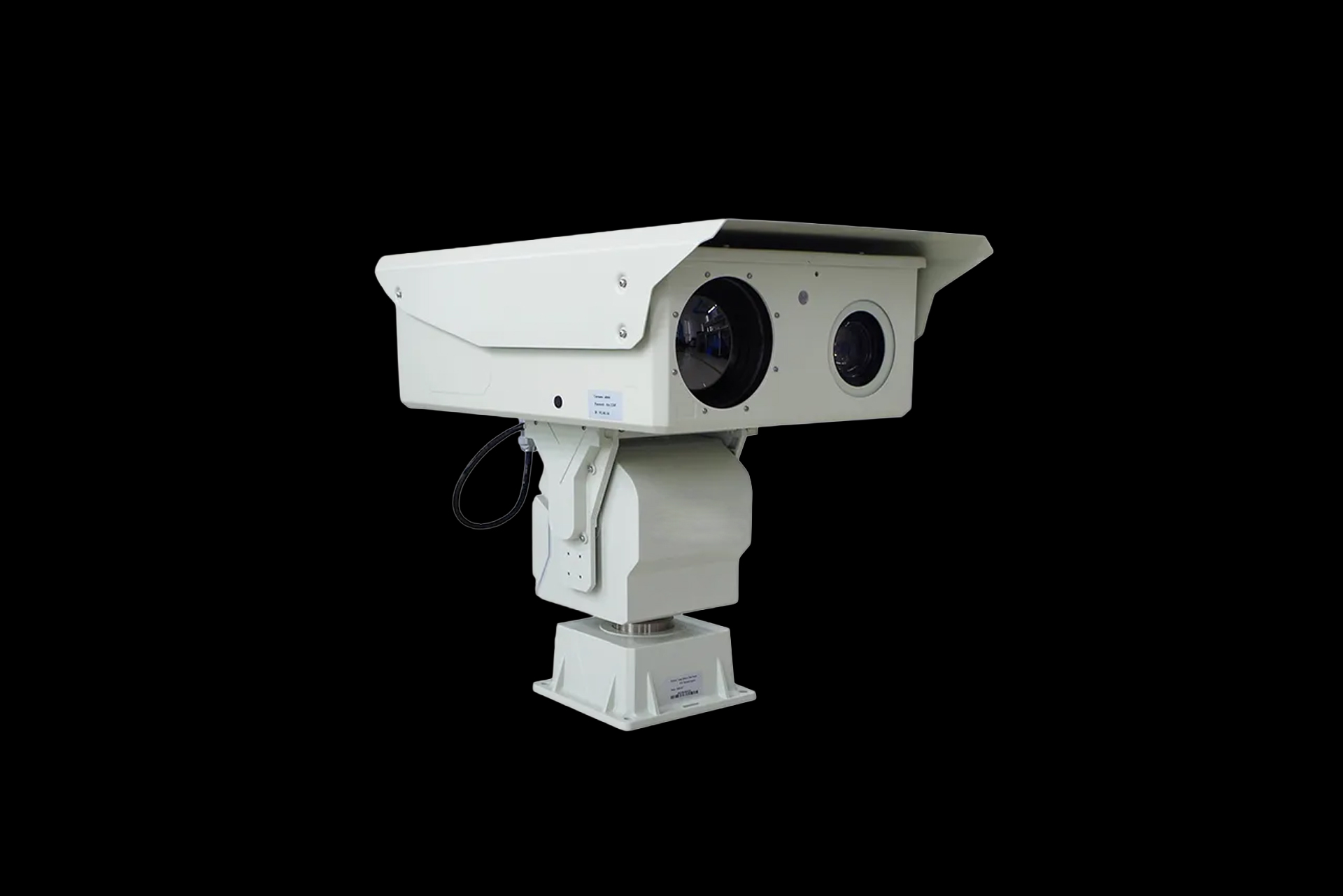
-
Titan X5-ELR
40km Day Detection Cooled 1100mm Thermal Night Vision Vehicle Mounted PTZ Optics Cameras
360° continuous rotation observation, no dead angle, stable operation, small image jitter, adaptive focal length and rotation speed, and accurate target positioning.
More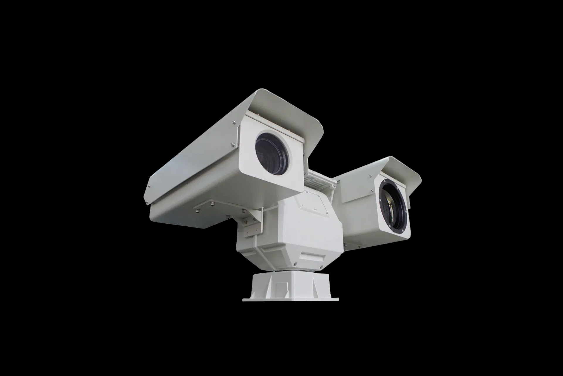
Leave a consultation request
Our manager will contact you shortly and answer all your questions
Leave a request
Industry-specific tasks
-
Construction and land management
-
Emergency response and search & rescue operations
-
Environmental organizations
-
Forestry and agriculture
-
Oil and gas companies
-
Overhead power line monitoring
Construction and land management
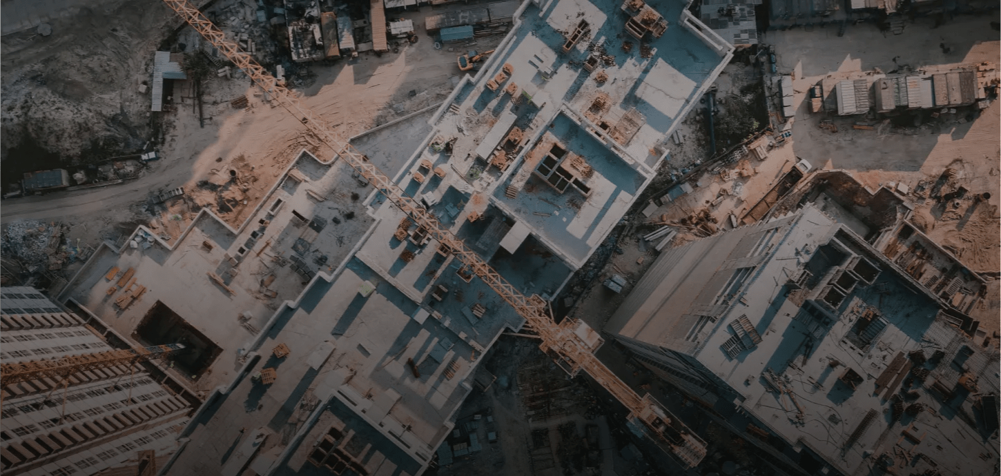
Construction and land management
Provides highly accurate data at all stages of the construction and operation of infrastructure facilities. Used to build orthophoto plans, digital terrain models, topographic plans, and maps. Moreover, available in any territory, regardless of terrain and distance. Used to collect up-to-date data for cadastral registration of property and to eliminate cadastral errors, as well as to identify illegal buildings, land seizures, and unauthorized changes to land boundaries.
More
Emergency response and search & rescue operations
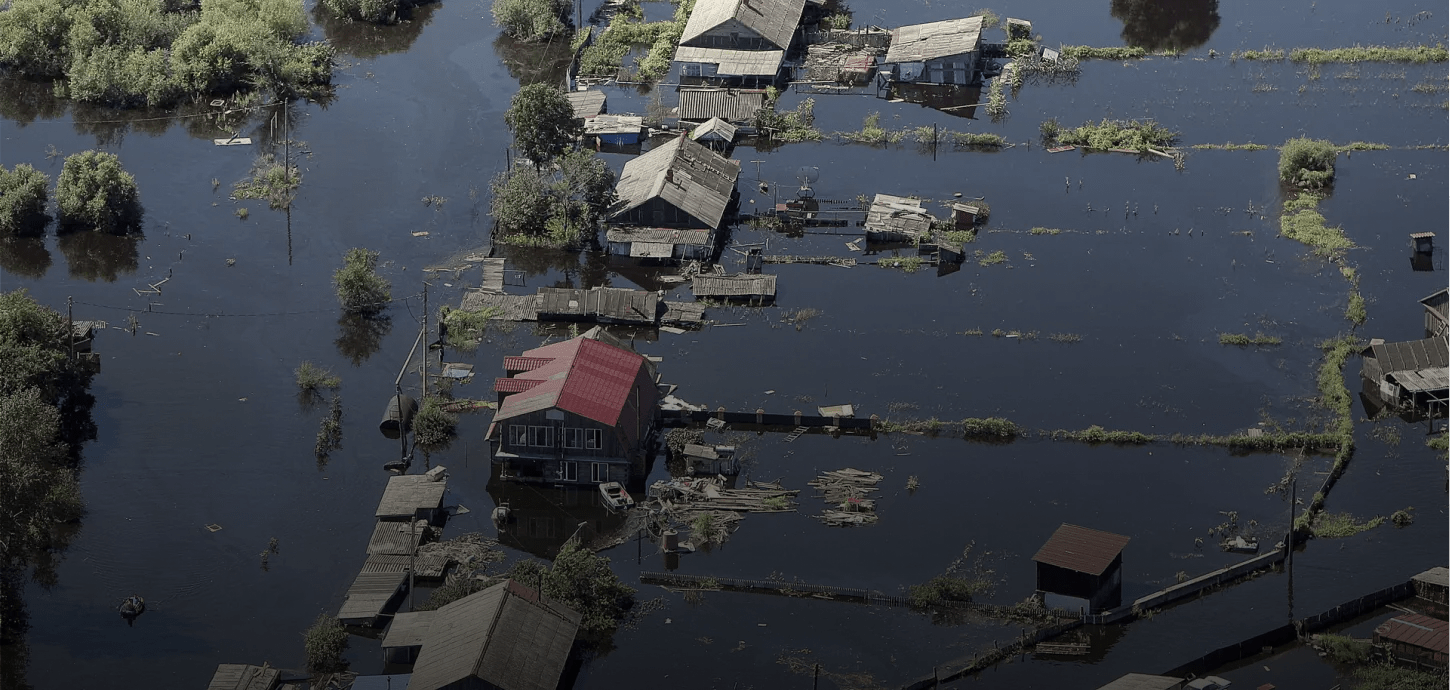
Emergency response and search & rescue operations
Highly effective in rescue missions for air and sea crews, fishermen in distress on ice floes and in search missions after avalanches. Aircrafts are used to escort and guide mobile search teams; as well as to determine the exact coordinates and perimeter of the emergency area. It is effective in marking emergency control zones and alerting the public about emergencies. Used to provide communication and data relay, ensure the safety of mass events, and control highways.
More
Environmental organizations
Environmental organizations
Provides data collection, analysis and updates on the state of the environment. The system also provides real-time monitoring of potentially hazardous facilities, identifies unauthorized landfills and waste disposal sites, as well as site boundary violations. It effectively monitors the condition of the water protection zone and the coastal strip, as well as visible pollution in closed water bodies
More
Forestry and agriculture
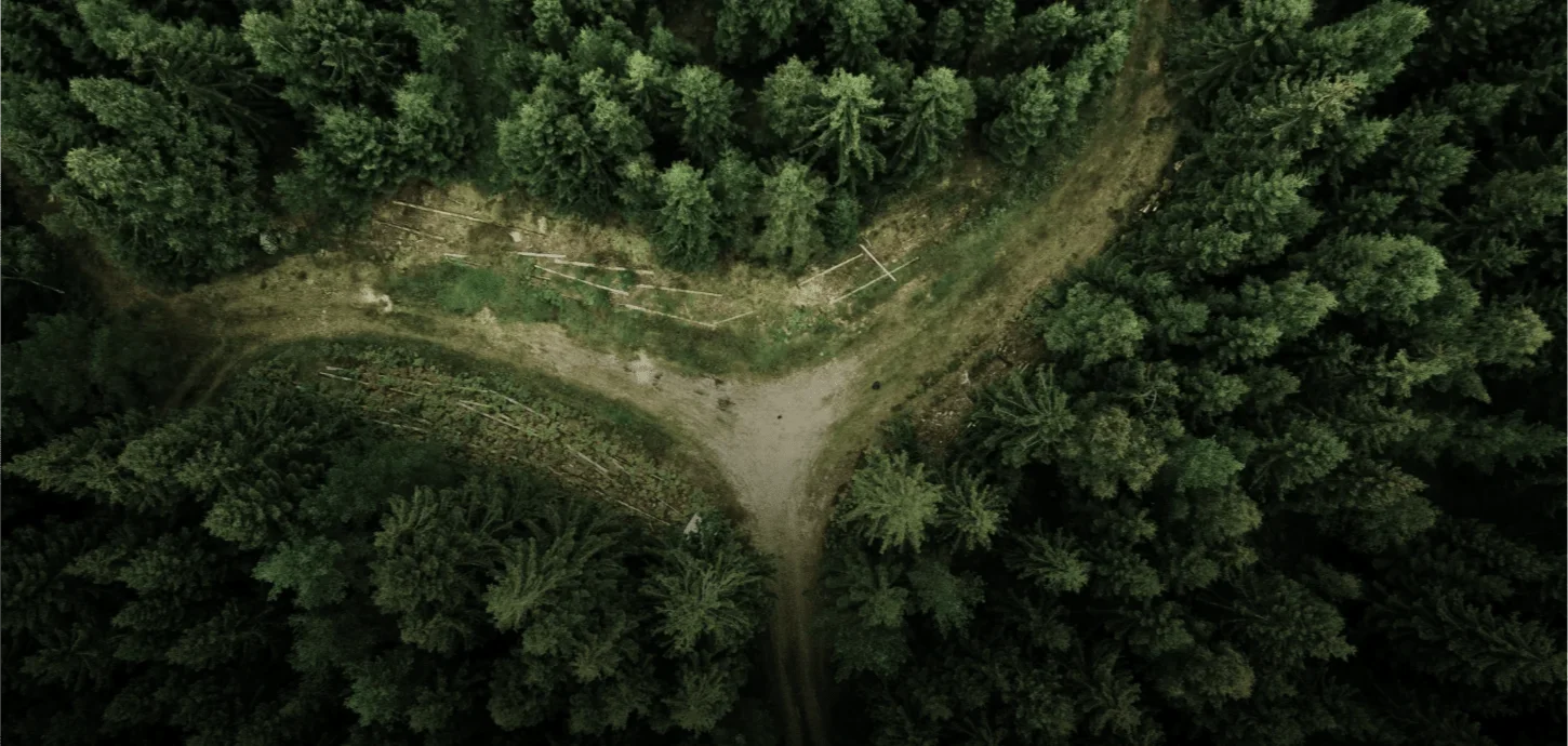
Forestry and agriculture
Used to monitor and control large areas. It's highly effective in the search and aerial accounting of animals, as well as crops control and machine operators' work optimization
More
Oil and gas companies
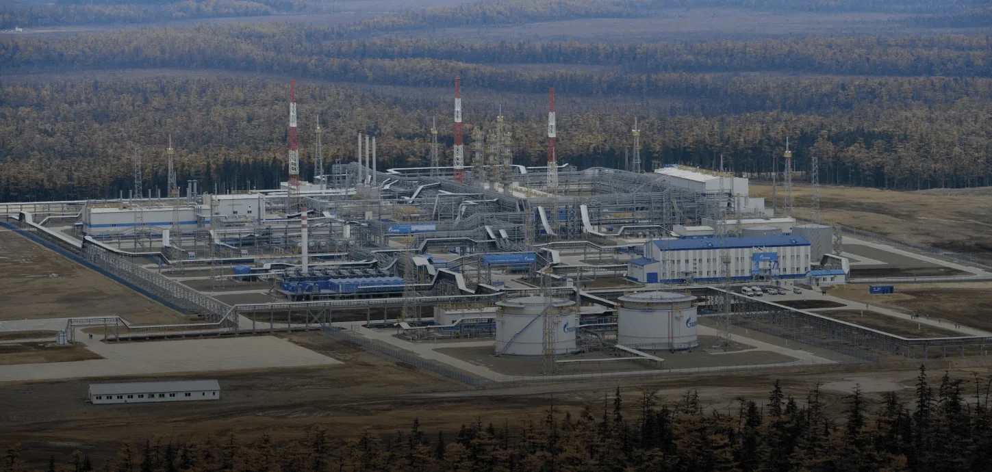
Oil and gas companies
Highly effective in monitoring facilities and detecting the actions of perpetrators in order to ensure the safe operation of main pipelines, promptly detect equipment damage, including oil and petroleum product spills on land and in water; and provide thermal imaging monitoring of oil and gas industry facilities. Also used to build orthophoto plans, digital terrain models, and determine the development of hazardous geological processes.
More
Overhead power line monitoring
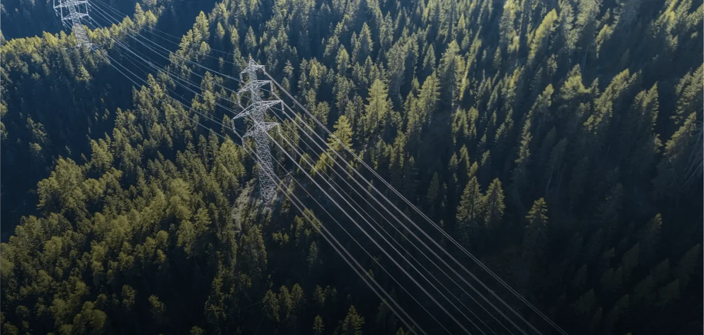
Overhead power line monitoring
Used to assess the condition and determine the coordinates of wires, cables, linear fittings and insulation. The vehicle is used to identify potentially dangerous trees and branches, assess the volume and characteristics of forest clearing, as well as to detect buildings and monitor the work in the protected area.
More